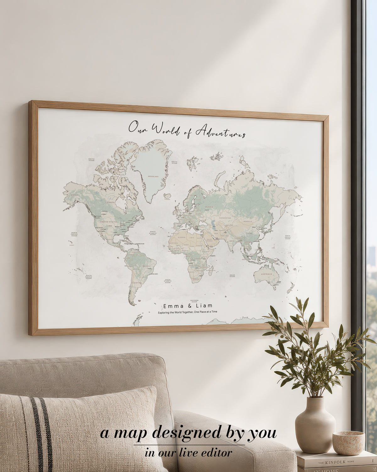
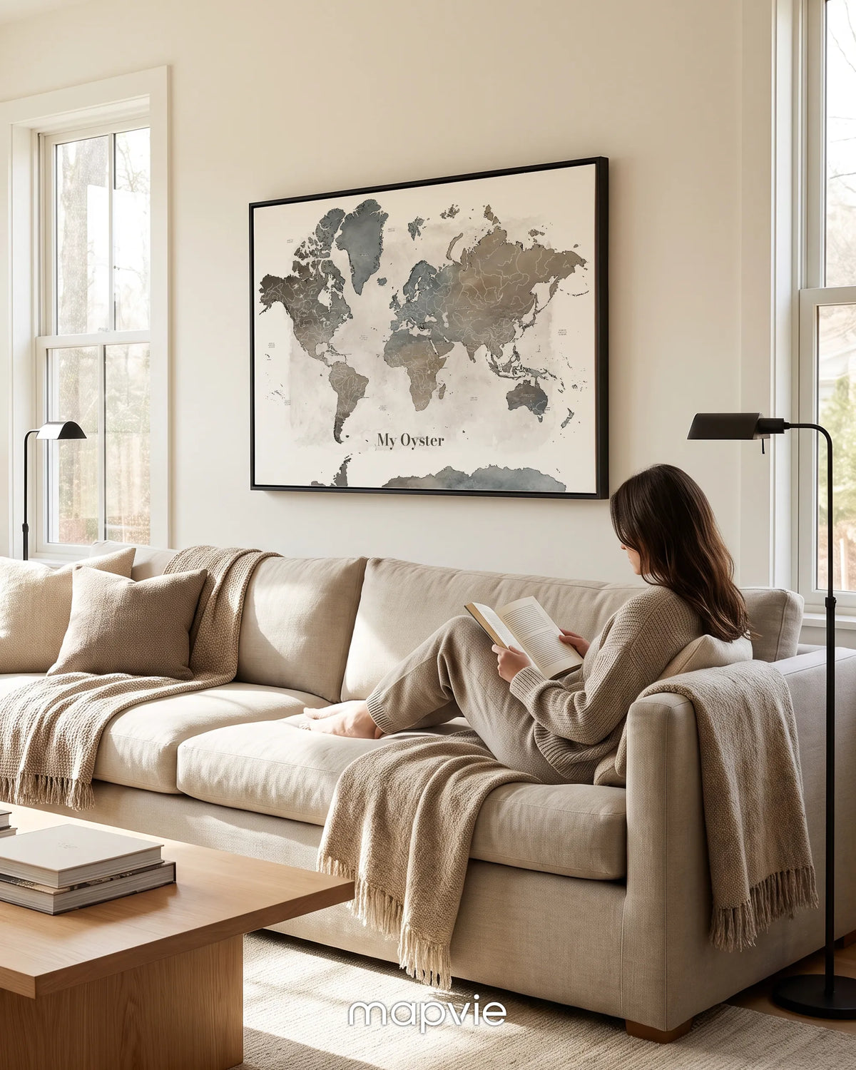
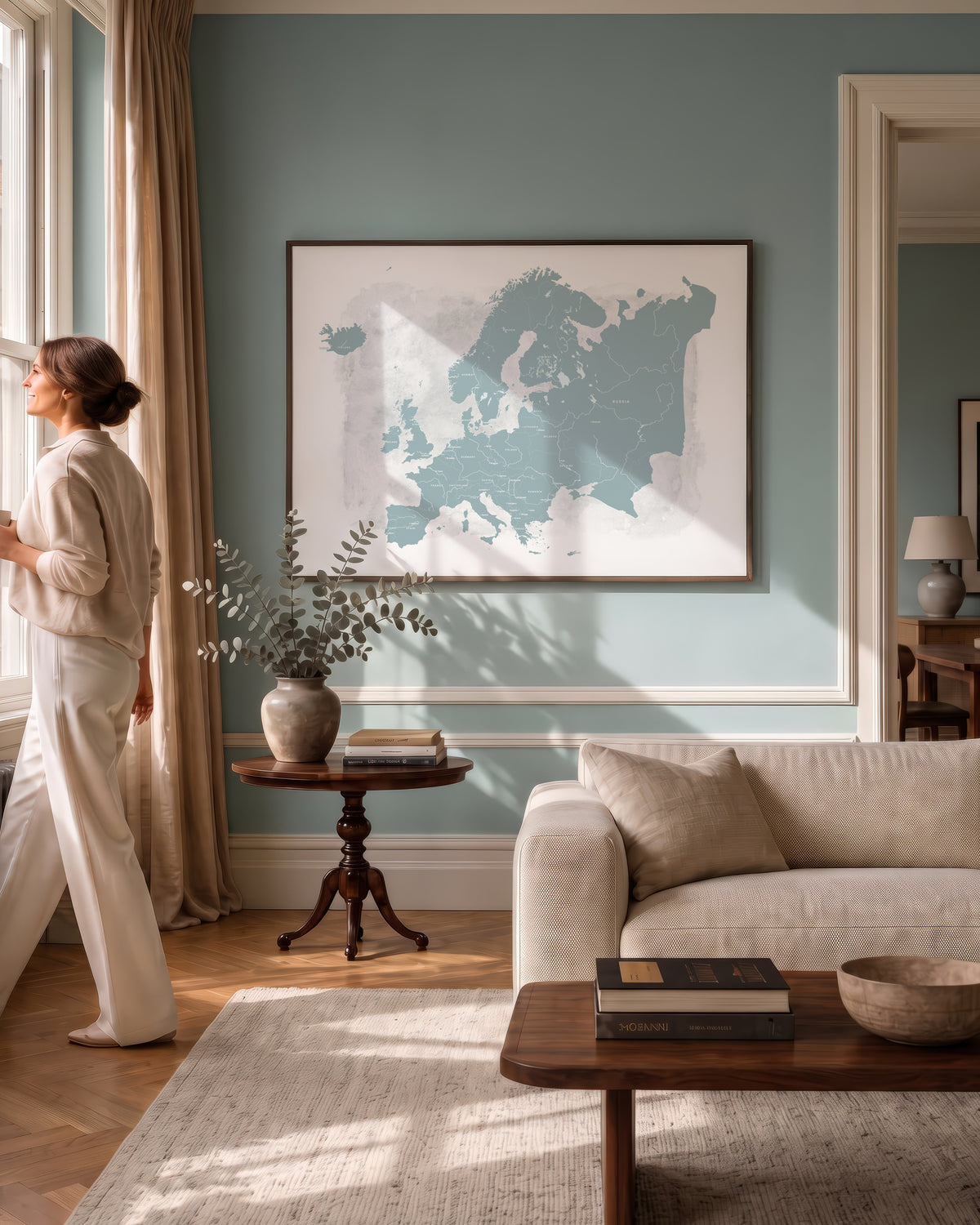
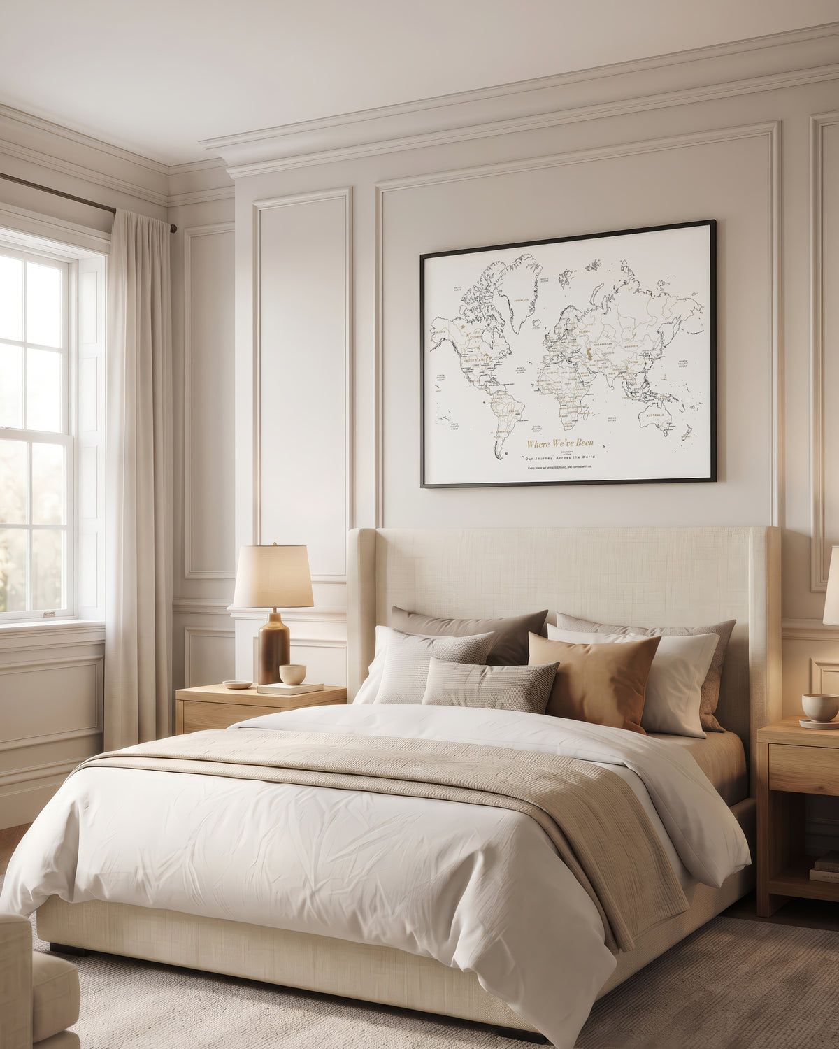
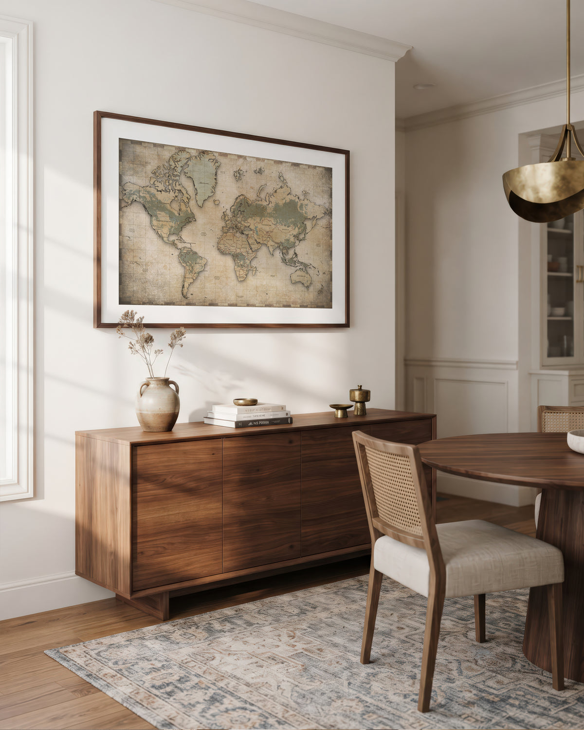
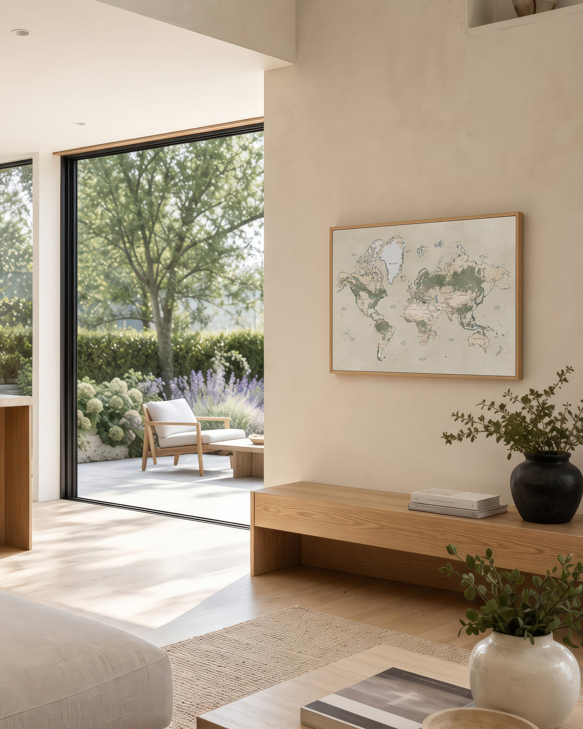
A custom world map of your adventures together
The countries you have traveled and the trips still to come, in your own words. A personalized world travel map, a wanderlust anniversary gift.
A custom world map poster, in your own colors.
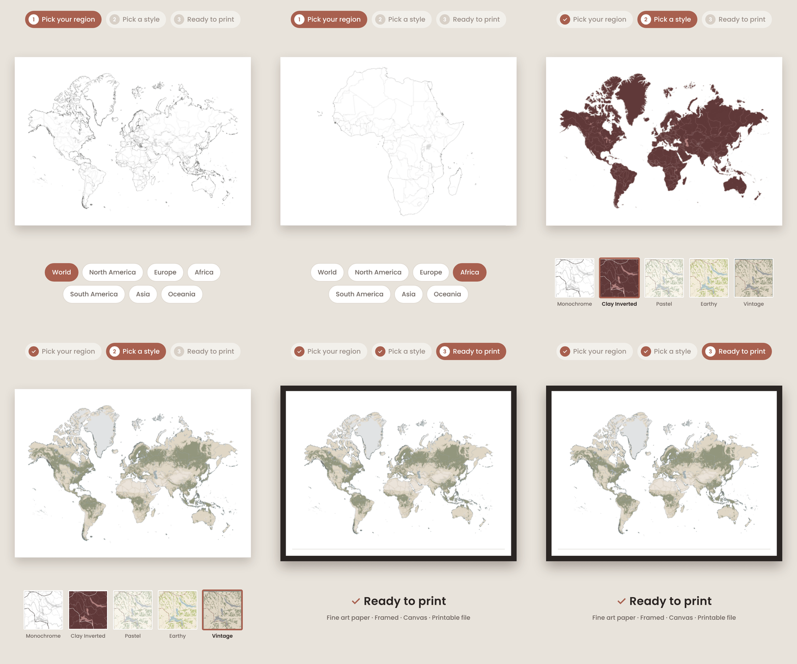
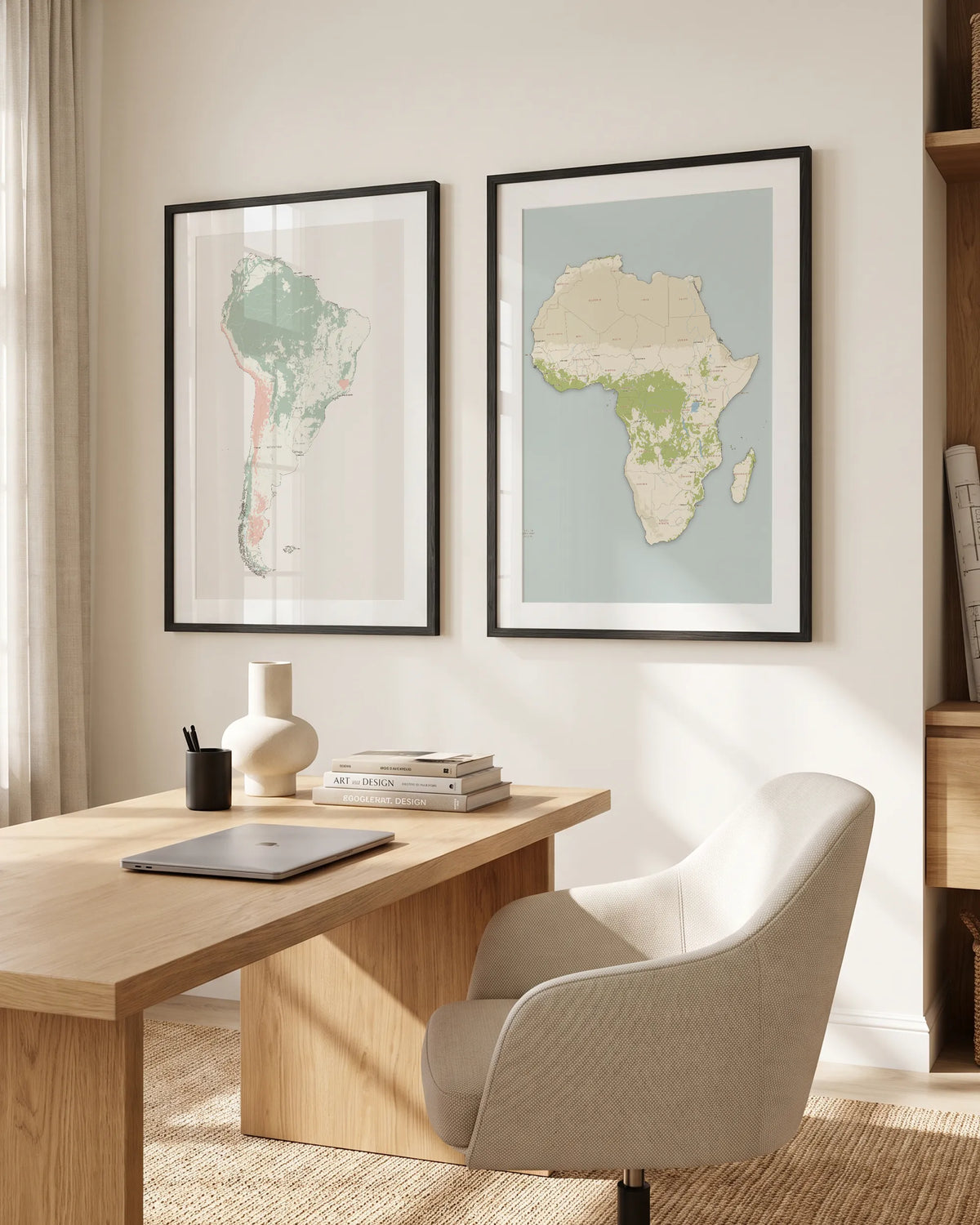
Choose the world or one of the six continents, and the map is drawn edge to edge across the sheet — real coastlines, real borders, real rivers, forests, deserts and ice. Pick a style, change any color you like, add your own words and place them anywhere on the poster. What you see on screen is what gets printed.
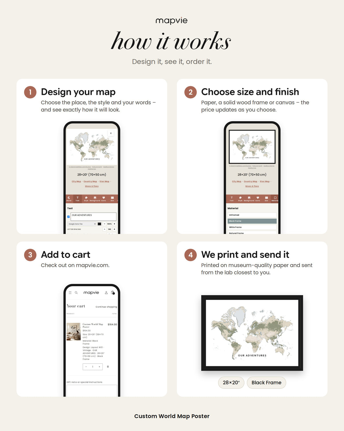
How it works
Open the map editor, choose the world or a continent, and design your poster. When you are happy with it, add it to your cart and we take care of the rest. Nothing is printed until you order, and every poster is created for personal use, not for resale or commercial use.
Made to order, printed locally
Giclée printing on museum-quality matte paper with water-based inks, from sustainably sourced materials. Orders are produced in the United States, United Kingdom, Canada or Australia and shipped from the lab closest to you.
Choose how you want it
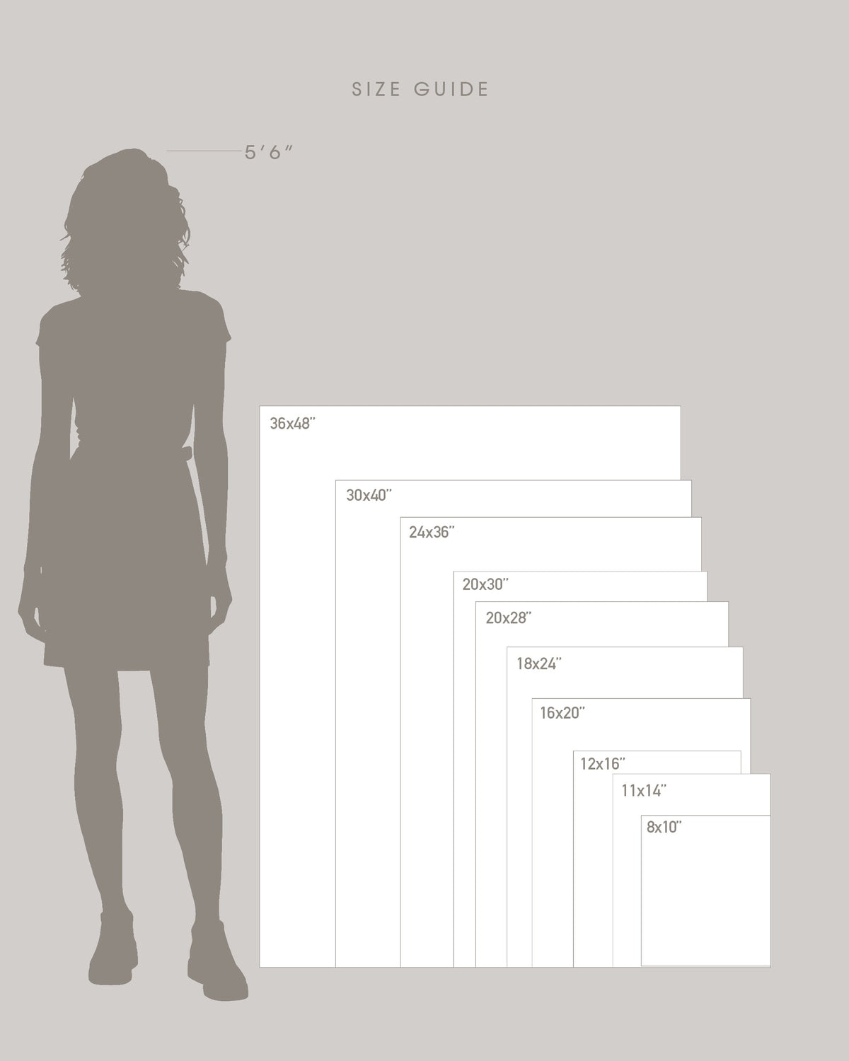
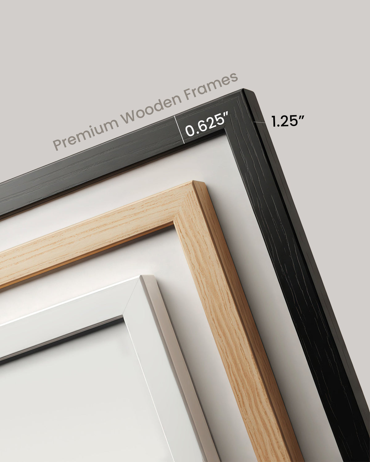
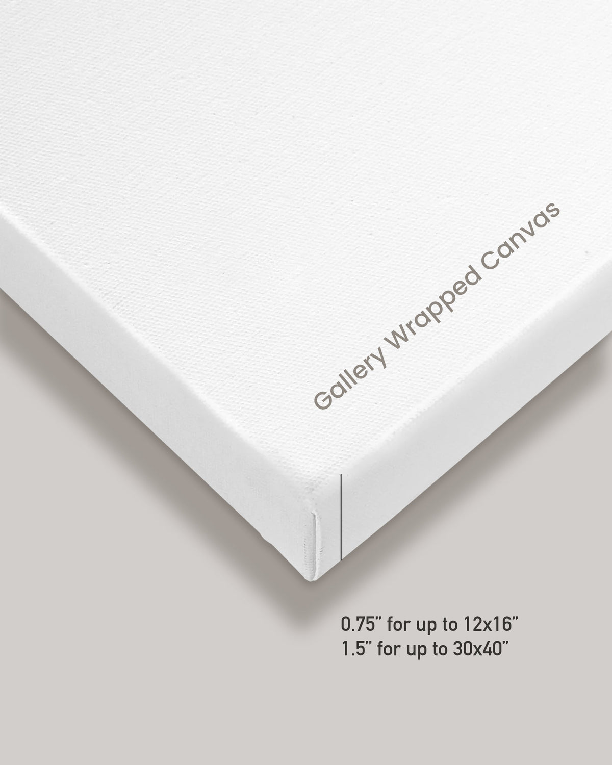
Unframed on paper, or framed in solid wood with a black, white, or natural wood finish, behind acrylic. You can also choose a stretched cotton canvas, ready to hang. Thirteen sizes, from 20×16″ up to 48×36″, the A series, and two panoramic sheets at 40×20″ and 60×30″.
Prefer to print it yourself? Choose Printable file for a high-resolution file you can print at home or at a local print shop. Digital files are available worldwide.
A selection, not an atlas
This is wall art rather than a political map: the larger countries and the best-known cities are named, and a bigger sheet holds more of them. You can turn the names off altogether.
Need a little help along the way?
We’re here to help. If you have any questions while creating your map, just reach out to us and we’ll be happy to assist.
A little note
Colors can vary slightly by screen. Wood grain may vary naturally.
Boundaries © geoBoundaries (CC BY 4.0) · Coastline © OpenStreetMap contributors (ODbL) · Physical features © Natural Earth · Place names © GeoNames (CC BY 4.0)