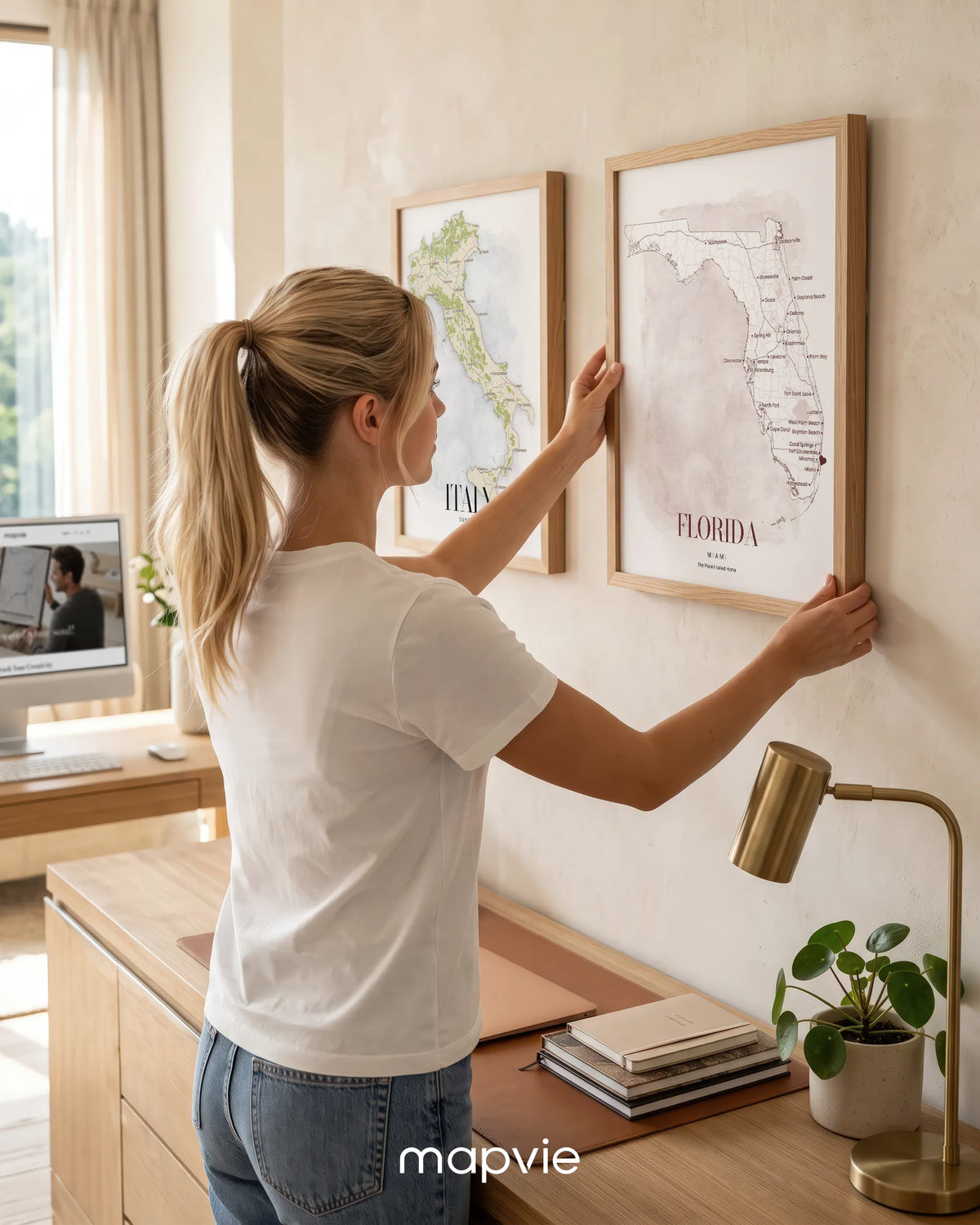
Three custom country and state maps, made to hang together
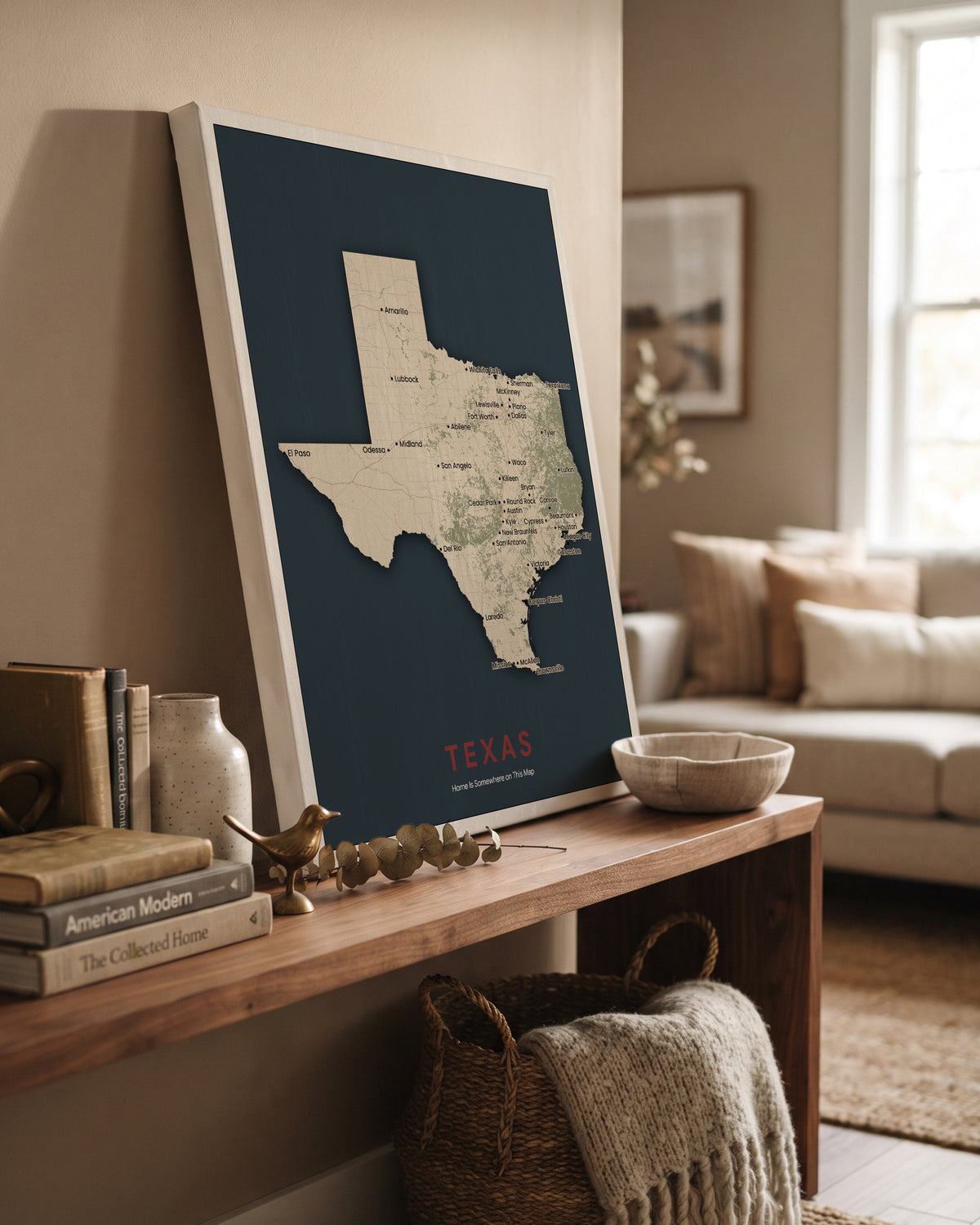
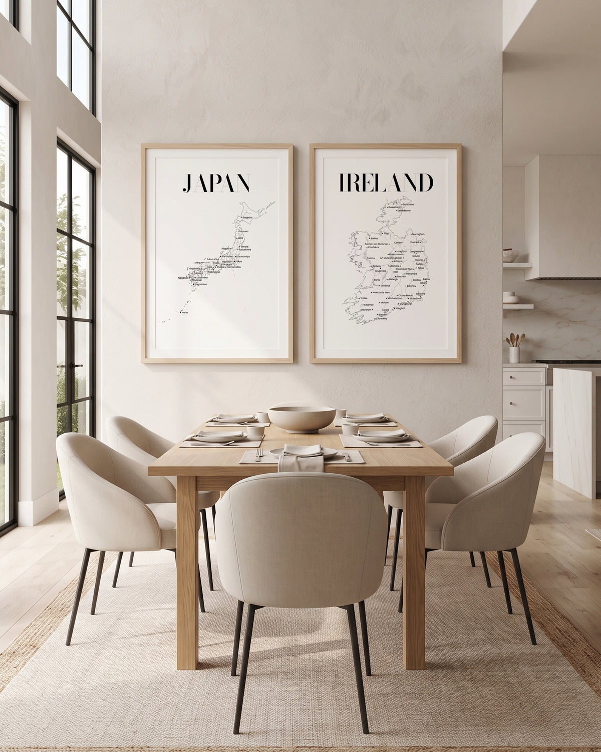
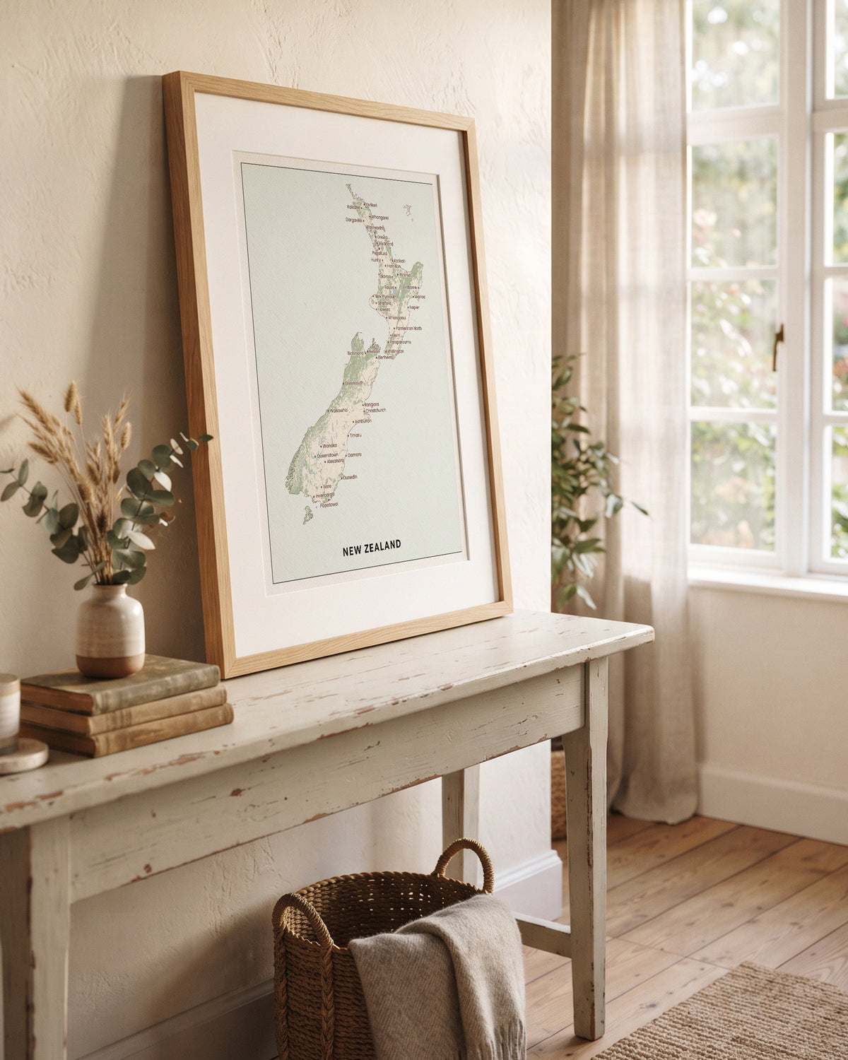
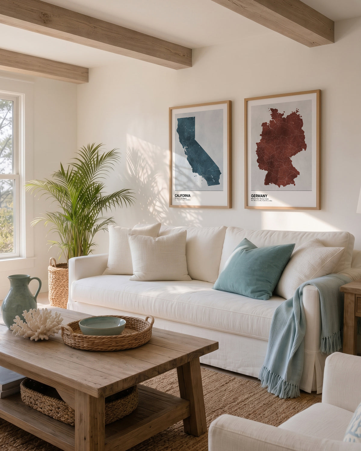
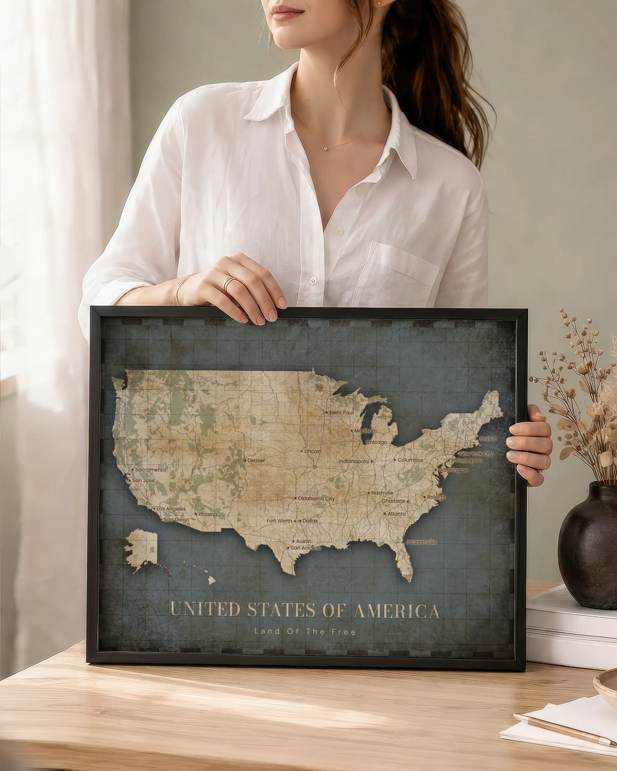
Where you grew up, where you live now, where your family comes from: three personalized state or country map prints in one size and one finish.
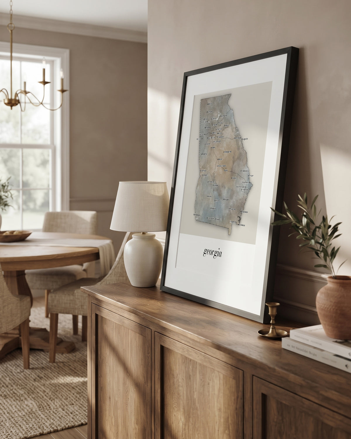
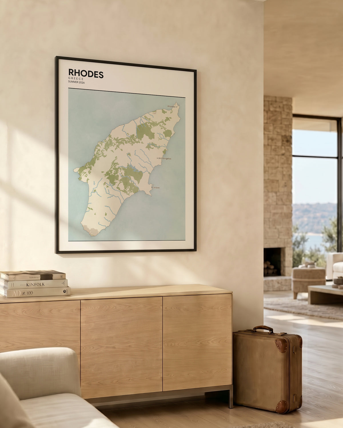
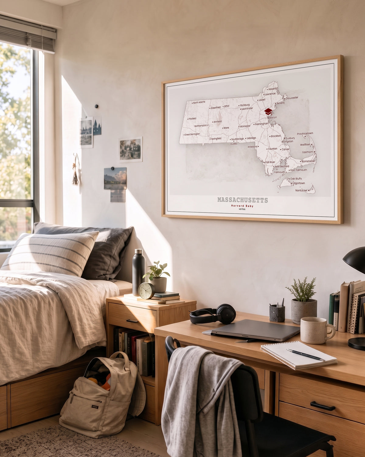
A whole country, cut to its own border
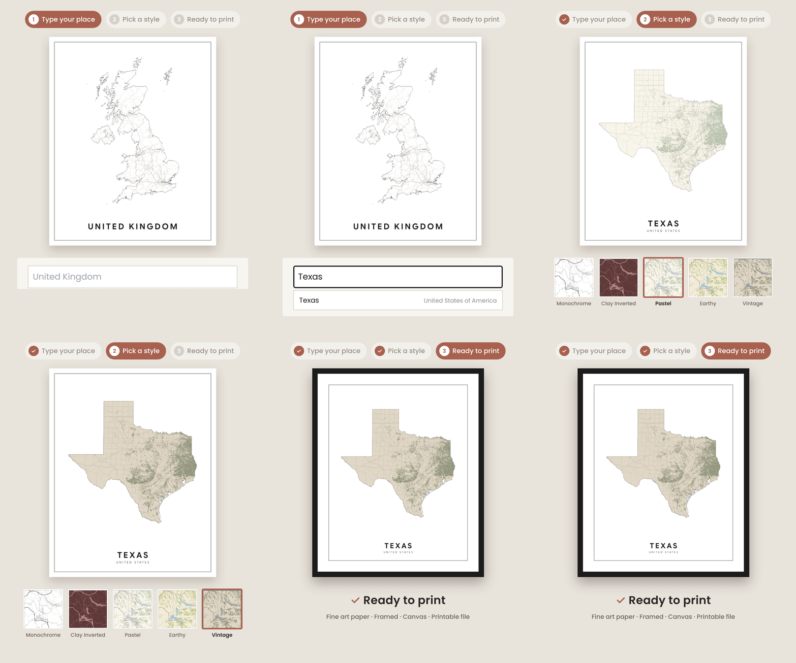
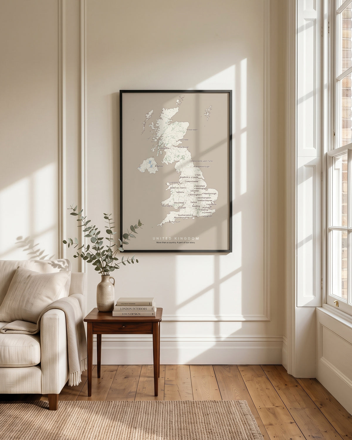
Choose a country or a state for each poster and the map is drawn inside the shape of it — real coastlines, real rivers, real roads, stopping exactly where the border does. Pick the style and colors, your own title and text. What you see on screen is what gets printed.
Three posters, one size, one finish
Each of the three is designed on its own — its own place, style, colors and words — and all three are printed at the same size and in the same finish, so they hang as one set. Any of them can also be a city map or a star map, if that tells the story better.
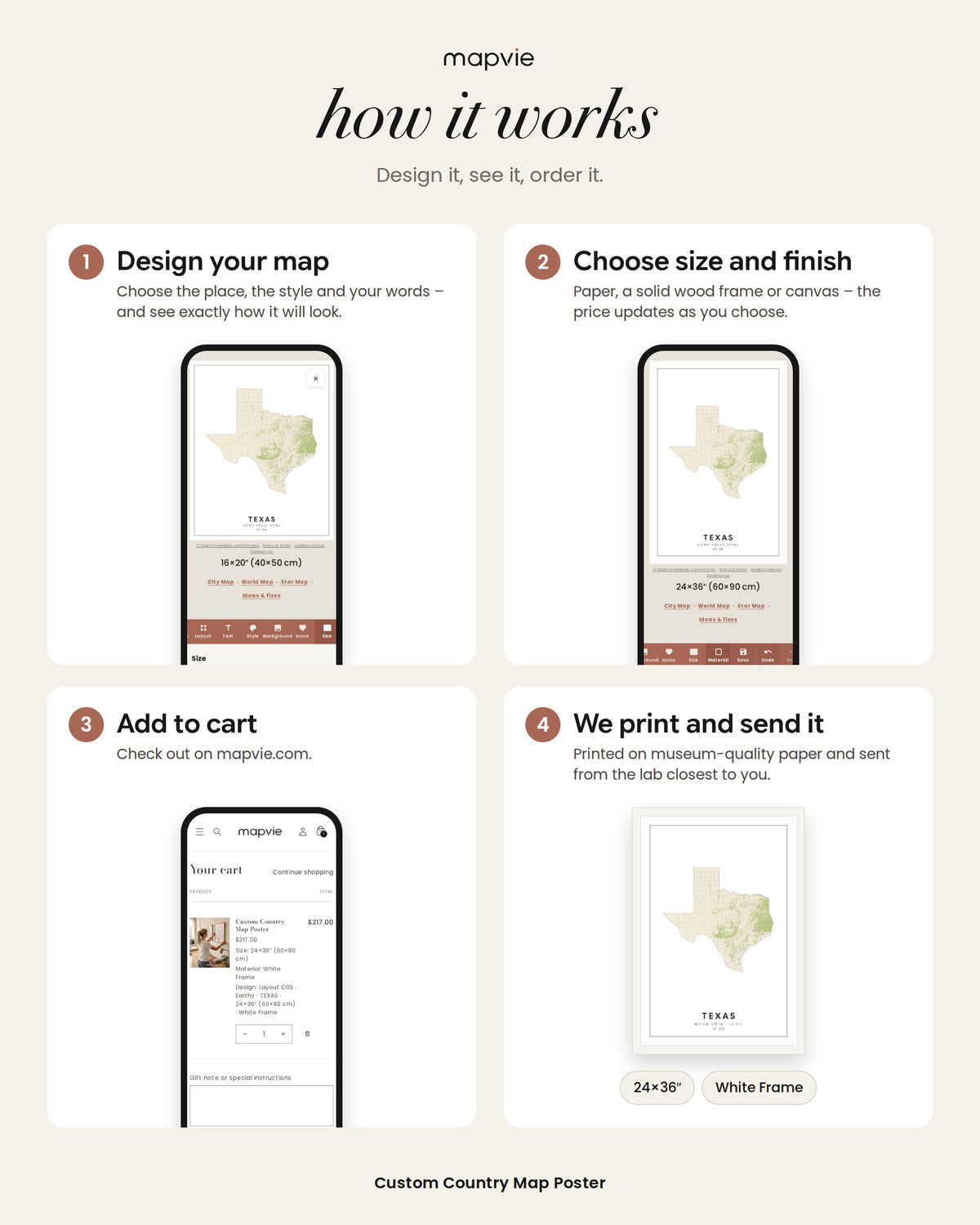
How it works
Open the map editor and design Design 1, then Design 2 and Design 3. When all three are ready, add the set to your cart and we take care of the rest. Nothing is printed until you order, and every poster is created for personal use, not for resale or commercial use.
Made to order, printed locally
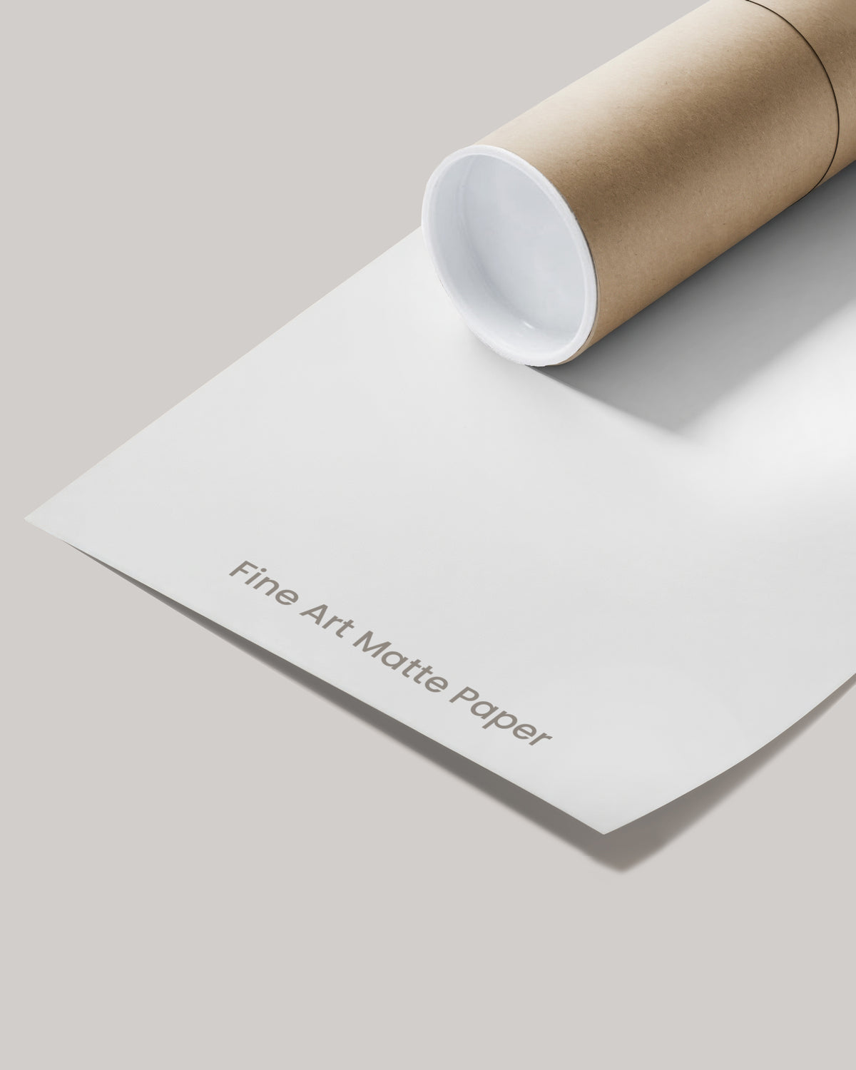
Giclée printing on museum-quality matte paper with water-based inks, from sustainably sourced materials. Orders are produced in the United States, United Kingdom, Canada or Australia and shipped from the lab closest to you.
Choose how you want it
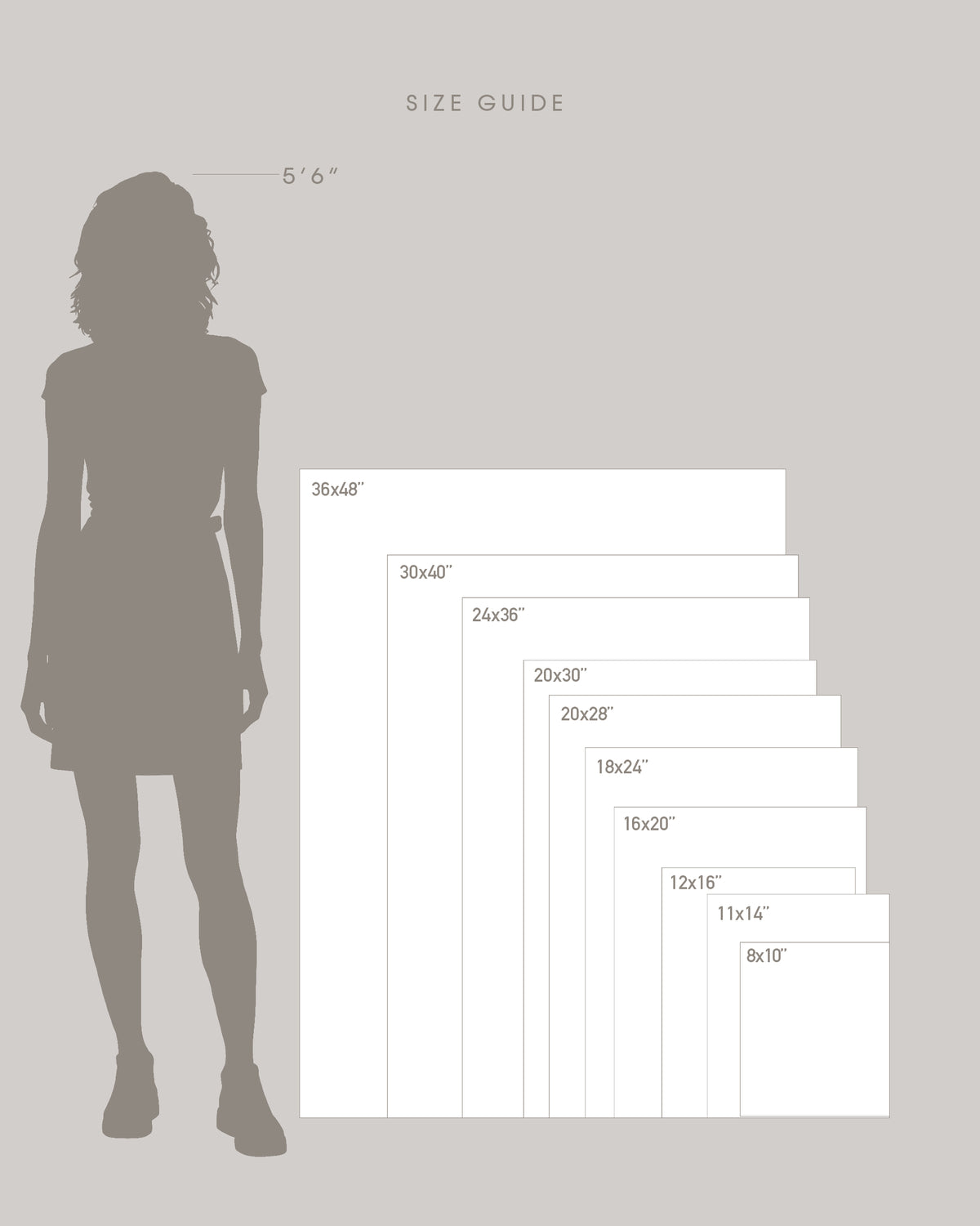
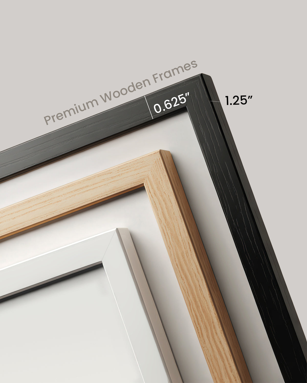
Unframed on paper, or framed in solid wood with a black, white, or natural wood finish, behind acrylic. You can also choose a stretched cotton canvas, ready to hang. Fifteen sizes, from 8×10″ up to 36×48″, plus the full A series. The size and finish you choose apply to all three posters.
Live outside our four delivery countries? Every set is also available as three high-resolution printable files you can take to any print shop.
Need a little help along the way?
We’re here to help. If you have any questions while creating your maps, just reach out to us and we’ll be happy to assist.
A little note
Colors can vary slightly by screen. Wood grain may vary naturally.
Boundaries © geoBoundaries (CC BY 4.0) · Coastline © OpenStreetMap contributors (ODbL)